What Are Some Interesting Facts About Sumidero Canyon?
Facts about Sumidero Canyon: its 1980 national park decree, walls above 1,000 m, the Chicoasen dam, the wildlife on the boat ride and the caves and waterfalls along the Grijalva River.
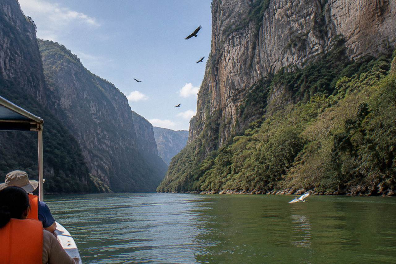
The Grijalva River cuts a limestone trench through the mountains of Chiapas that was decreed a national park on 8 December 1980 and now protects 21,789.41 hectares, according to CONANP, the federal protected-areas agency. The numbers attached to this place are genuinely large: the canyon runs about 30 to 33 km, the walls are commonly cited at over 1,000 m, and one 2026 source puts the maximum near 1,200 m at the El Roblar viewpoint. This guide collects the facts, separates the firm figures from the older cited ones, and points to the boat rides and day trips that let you check them against the real thing. Even with walls that tall, Sumidero doesn't hold the national depth record, and our guide to the deepest canyon in Mexico explains which gorge does and why the claims get contested.
The core facts: Sumidero Canyon was decreed a national park on 8 December 1980 and spans 21,789.41 hectares. The canyon stretches about 30 to 33 km along the Grijalva River, its limestone walls are commonly cited at over 1,000 m high, and the Chicoasen dam closes its northern end, creating the reservoir that keeps boats running all year.
Start with the paperwork, because it explains the park's shape. The official name is Parque Nacional Cañón del Sumidero, and the decree date of 8 December 1980 appears on CONANP's own record for the park, which also carries the current area figure of 21,789.41 hectares. That is a large protected zone, and it matters for what you actually experience: the boat ride, the viewpoints road and the riverbanks all sit inside a federally managed area with a written visitor code, from mandatory life jackets to a ban on drones. The rules are not decoration. In 2025 CONANP formally reported a visitor to the environmental prosecutor for breaking the visitor code at a viewpoint, which tells you enforcement is real.
The geology is the second layer of the story. The walls are limestone, formed from marine sediments laid down in the Upper Mesozoic, roughly 80 to 136 million years ago, when this land was under the sea. The canyon itself formed along a tectonic fault: the Grijalva River exploited a crack in the crust and cut downward, with the main opening and erosion process dated by geological sources to around 12 million years ago. Fossil-bearing limestone above a living river is the whole visual contradiction of the place. Every cliff face you photograph was once the floor of an ocean.
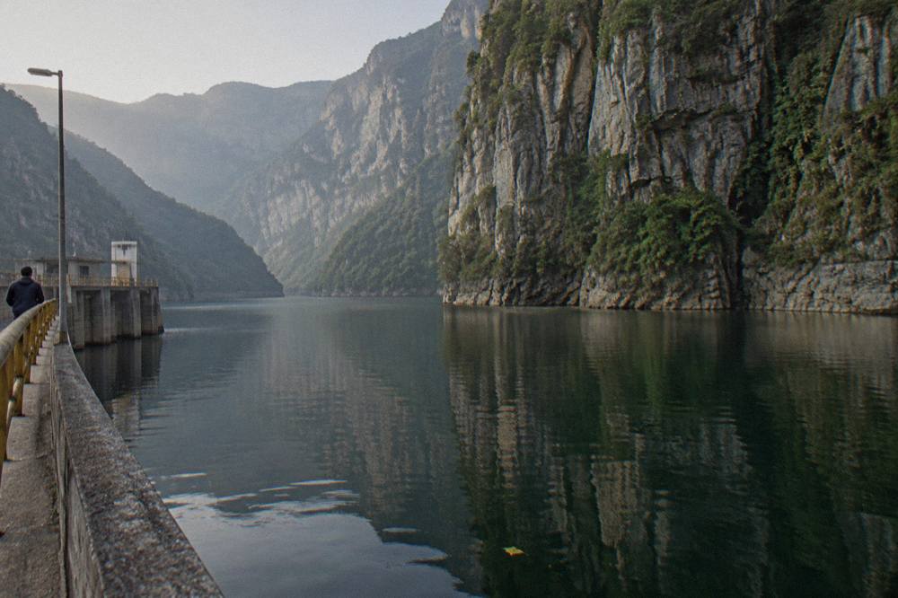
The third fact that surprises most visitors is the dam. The Chicoasen dam, officially Presa Manuel Moreno Torres, sits at the northern end of the canyon and impounds a reservoir that covers the navigable section, described in some sources as roughly 32 km long. Without it, the two-hour boat ride from Chiapa de Corzo to the dam wall and back would not exist in its current form: the reservoir keeps water deep enough for navigation all year, and the dam operator coordinates continuous removal of floating debris from the canyon to keep the route clear. A hydroelectric project and a tourist boat route are strange neighbors, but here they are the same body of water.
If reading the numbers makes you want to see the walls from the water, the listings on this page are the most useful ways in: the most reviewed full day from San Cristobal, a premium boat tour with hotel pickup, and a long Tuxtla departure that ends in either city.
How Tall Are The Canyon Walls Really?
The walls are commonly cited at over 1,000 m above the river, with one 2026 source giving a maximum of about 1,200 m at the El Roblar viewpoint. Treat every figure as commonly cited rather than official: no single decree number exists, and sources range between roughly 1,000 and 1,300 m.
Wall height at Sumidero is not one fixed number because the canyon rim varies along the route, and the Mexican sources that quote a figure almost always describe it as the height above the riverbed or river level. Wikipedia in both languages and multiple 2025 and 2026 tourism guides use "over 1,000 m", and a 2026 source specifically credits the El Roblar lookout, one of the five official viewpoints on the miradores road, with about 1,200 m. None of these is a decree figure. The federal record for the park gives the area, not the relief.
What is not in dispute is the effect. From the deck of a lancha, mid-channel, the walls occupy your entire peripheral vision, and the sky at the narrowest stretches is a strip. Width varies along the canyon too: commonly cited figures run from 1 to 2 km across, narrowing to roughly 200 m in places, with the narrow passage sometimes described as about 13 km. Those proportions are what earn the canyon its standing among Mexico's natural landmarks, and they are the reason the comparison with the Grand Canyon comes up so often, a question this site has answered separately.
The depth figure needs a stronger label than the height. A river depth of over 250 m appears in the Spanish Wikipedia article and in older tourism writing, and it is consistently repeated, but it is an older cited figure rather than a recent sounding. In practice the reservoir behind the Chicoasen dam makes the water genuinely deep in the middle of the channel; boat crews treat it as a lake, not a river, and the ride never runs aground. Take the 250 m figure with the caveat, or leave it out.
For scale in person, the viewpoints road above the canyon is the complement to the boat. The five official lookouts, La Ceiba, La Coyota, El Roblar, Los Chiapa and El Tepehuaje, are reached by the Calzada al Sumidero from Tuxtla Gutierrez, and land access runs Wednesday to Monday, closed Tuesdays. Several full-day listings bundle the miradores with the boat ride for exactly this reason: the wall height reads one way from the water and a very different way from the rim. The detailed rundown of each lookout is in the site's viewpoints guide.
How Old Is The Rock, And How Did The Canyon Form?
The limestone walls are Upper Mesozoic marine sediments, roughly 80 to 136 million years old. The canyon formed along a tectonic fault, with the Grijalva River cutting down through the fractured rock, and geological sources date the main opening and erosion process to around 12 million years ago, with some references to the Pleistocene.
Two clocks run at very different speeds here. The rock is old ocean floor: during the Upper Mesozoic, the region lay under a sea, and the shells and sediments of that sea compacted into the limestone you now look up at. That is why local geology writers call the canyon a visible cross-section of marine history, and why the cliff bands read as layers, each a different episode of deposition. When your boat guide points at a dark stripe halfway up a wall, the plain description is a different sedimentary horizon, not a single dramatic event.
The canyon is the fast clock. The Grijalva found a tectonic fault, a crack in the crust, and concentrated its erosion there, which is why the gorge is so narrow relative to its depth. Mexican geology sources date the main canyon-opening and erosion process to around 12 million years ago, and some references push landscape shaping into the Pleistocene. Either way, the canyon is young rock doing something old rivers rarely manage: cutting a trench through a mountain range rather than around it. That is the fact that gives the place its geological standing.
A practical consequence of fault-guided geology is what the boat ride actually passes. Fractured limestone produces caves, seeps and seasonal waterfalls along the walls, and the named sights of the ride, covered below, are all geological features of this fault system rather than separate attractions. The water in the river, meanwhile, is a managed reservoir, which is a fourth fact worth holding: the canyon is natural, the lake inside it is not entirely.
What Will You See From The Boat?
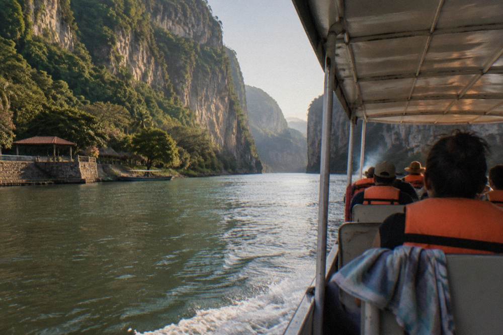
The standard two-hour ride from Chiapa de Corzo to the Chicoasen dam wall and back passes named sights including the Árbol de Navidad waterfall, Cueva del Silencio and Cueva de Colores, plus the Belisario Domínguez bridge, a river bend shaped like the Chiapas coat of arms and the Velo de Novia waterfall. Wildlife along the route is commonly reported but never promised.
The named sights are the skeleton of every boat commentary. The Árbol de Navidad, or Christmas Tree, is a moss-covered limestone formation that resembles a decorated fir; in the rainy season water pours over it strongly enough to soak passing boats, and in the dry season it can reduce to a trickle while the structure itself stays visible. Cueva de Colores is a mineral-stained cave holding a small shrine to the Virgen de Guadalupe, an altar placed on the wall. Cueva del Silencio, the Cave of Silence, is named for the way it swallows sound. The Velo de Novia waterfall, the Bridal Veil, is another seasonal cascade, and the Belisario Domínguez bridge and the coat-of-arms river bend are regular narration stops.
| Named sight on the ride | What it is | Seasonal behavior |
|---|---|---|
| Árbol de Navidad | Moss-covered limestone formation resembling a Christmas tree | Strong flow in the rainy season, a trickle in the dry season, structure always visible |
| Cueva de Colores | Mineral-stained cave with a Virgen de Guadalupe shrine | Present year round |
| Cueva del Silencio | Cave named for absorbing echoes | Present year round |
| Velo de Novia | Seasonal waterfall on the canyon wall | Most active May to October |
| Chicoasen dam wall | The turnaround point of the ride | Present year round, water level varies |
Every tour on this site that includes a boat ride uses the same route, because the cooperative launches all run the same two-hour round trip. The differences between tours are on land: whether the day includes the miradores road, Chiapa de Corzo free time, hotel pickup or a bilingual guide. The premium boat tour from San Cristobal, for instance, lists hotel pickup and drop-off, a 90-minute canyon boat tour and the national park entrance fee, from $155 per person, rated 4.6 from 136 reviews. The budget Selva Azul boat day, by contrast, runs from $40 per person with transport, entrance fees and the boat ride, rated 4.0 from 80 reviews. Same water, very different days around it.
Should You Take The Long Tuxtla Day Instead?
If you are starting in Tuxtla Gutierrez or want the longest canyon time, the Apasionado x Chiapas Travel full day is the strongest fit: from $53 per person, rated 4.7 from 175 reviews, running 9 to 10 hours with about three hours at the canyon itself plus a two-hour mirador stop and Chiapa de Corzo, with reception and transfer at your hotel and a drop-off in Tuxtla or San Cristobal.
It is the highest-rated listing with a substantial review pool, and its itinerary is unusually generous: the canyon segment is listed at three hours of sightseeing, marine-life viewing and scenic driving, followed by a two-hour photo stop at the Mirador Canon del Sumidero, which the itinerary names explicitly. Inclusions list boats, entrance fees, ground transportation, basic traveler's insurance and a Spanish-speaking tour operator. Meals and lodging are excluded. For a facts-driven visitor, it is also the clearest illustration of the numbers above: three hours on and around the water, two hours above it, and the wall height read from both angles in one day.
What Animals Live In The Canyon?
American crocodiles, spider monkeys and a range of birds including herons, cormorants, pelicans and vultures are reported along the boat route. No official population counts are published. In October 2026, Profepa released 13 rescued river crocodiles into the park, animals recovered from urban areas between 2022 and 2025.
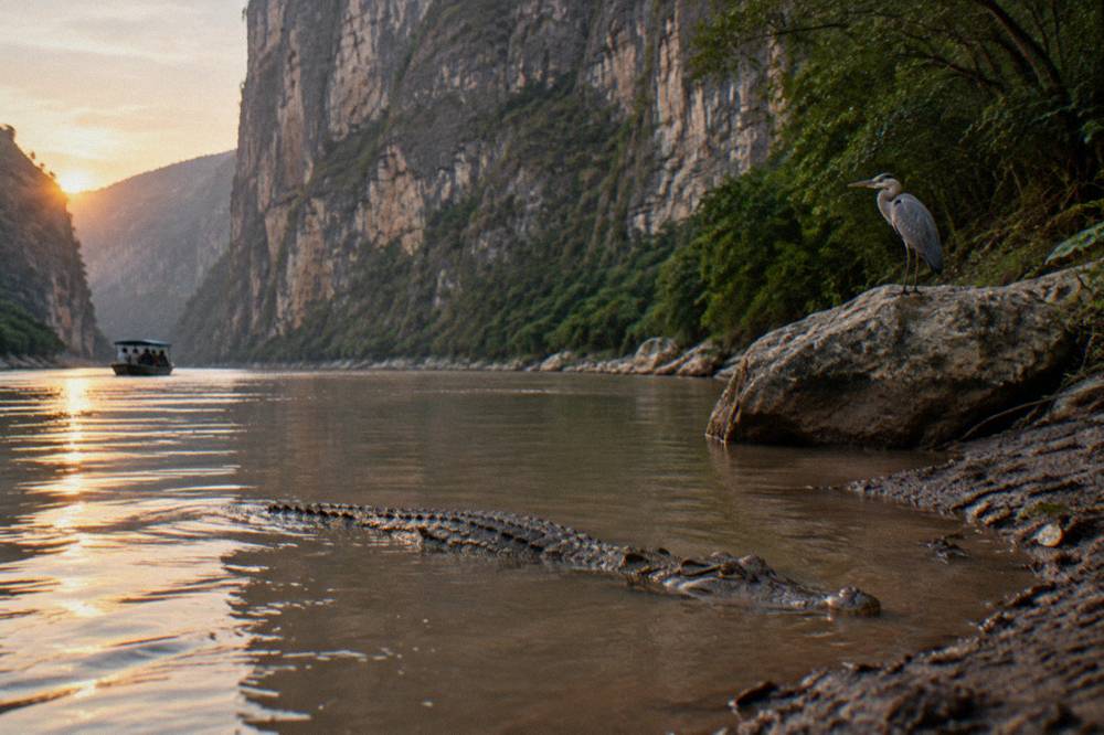
The crocodile is the star and the most reliable crowd-pleaser, but keep the wording in mind: crews and guides describe sightings as common, and no one can promise an animal on a given morning. The species is the American crocodile, Crocodylus acutus, and the 2026 news is genuinely good for it. Profepa, the federal environmental prosecutor's office, released 13 river crocodiles into the park in October 2026, animals that had been rescued from urban areas over the previous years and returned to suitable habitat. Thirteen crocodiles is a confirmed release; the total park population is not known.
Spider monkeys, Ateles geoffroyi, are the second flagship species, usually spotted in the trees on the canyon slopes rather than at water level. The bird list is what keeps the ride interesting even between the big sightings: herons and cormorants are the regulars, pelicans appear, and vultures ride the thermals along the walls. Photographers should read the site's wildlife guide and the drone-rules page before planning, because drones are prohibited park-wide and the visitor code is enforced.
There is a conservation counterweight to the wildlife story, and a facts page should carry it. The Grijalva carries floating solid waste downstream into the canyon, and the official response is continuous: more than 2,393 tons of floating waste were removed in 2026 as of early October, according to state and federal reports, alongside roughly 900,000 cubic meters of dredged sediment removed from the Chicoasen reservoir in 2025. Visitors see a cleaned route; the cleaning is a permanent operation. Controlling your own solid waste is rule 8 of the official visitor regulation, so the code and the cleanup are the same story from two ends.
How Deep Is The River Behind The Dam?
The river is described in older, consistently cited sources as over 250 m deep, a figure that should be labeled as an older citation rather than a recent measurement. The Chicoasen dam at the northern end creates the reservoir that maintains navigable water all year, and in October 2026 the dam was reported at 99 percent capacity.
The depth figure travels with caveats. Over 250 m appears in the Spanish-language sources on the canyon and in tourism writing going back years, and it is plausibly a real sounding of the flooded gorge at its deepest, but no recent official measurement is published, so print it as an older cited figure. What is verifiable now is the reservoir's behavior. The Chicoasen dam, officially named Presa Manuel Moreno Torres, was reported in mid-October 2026 at 99 percent of capacity, close to its normal maximum operating level, with authorities monitoring incoming rain and cold fronts.
The dam's presence changes how you should think about the water. This is not a free-flowing river through the canyon: it is a hydroelectric reservoir whose level is managed, which is why boats run reliably in the dry season when the upstream rains stop, and why operators can publish a year-round schedule. It also explains the cleaning operations described above, since floating debris collects against the dam wall and must be removed mechanically. A visitor who understands the dam understands the boat schedule.
For the practical side of getting on that water, the site's boat ride options guide compares the embarcaderos and the shared-fare structure, and the cost and tickets page breaks down the official CONANP entry fee of 125 MXN per person per day, separate from the cooperative boat fare. Many of the guided tours on this site state that the park fee is included, which is one of the real advantages of a booked day over an independent arrival at the dock.
The Most Reviewed Way To See All Of This
The Jalapeño full day from San Cristobal is the most reviewed listing on this site: 4.6 from 268 reviews, from $85 per person, running 8 to 9 hours with transport, national park fees, the shared boat ride, a viewpoint scenic drive and free time in Chiapa de Corzo.
Its itinerary strings the facts of this article into one day: a 45-minute viewpoint drive, about 110 minutes on the boat, and 75 minutes in Chiapa de Corzo, with entrance and national park fees listed as included and free cancellation on the booking. It lists Spanish and English but only provides a Spanish-speaking driver, no guide, meeting at Portal Oriente 9 by the central park in San Cristobal. Food, drinks, hotel drop-off and a dedicated guide are excluded, so budget for lunch in Chiapa de Corzo. The Sumidero Canyon Tours site carries it as the reference full-day listing precisely because its review pool is large enough to trust.
Curious whether this canyon justifies a full day of your Chiapas trip? Check availability on the premium boat departure, or read the site's verdict in is the canyon worth the trip.
What Are The Park's Own Numbers?
The park record reads: decreed 8 December 1980, area 21,789.41 hectares, hours 8:00 to 17:00, water access daily, land access to the miradores road Wednesday to Monday. The park receives roughly 500,000 to 800,000 visitors a year, per Mexican news reporting, and no closures or advisories were on record as of late October 2026.
The decree and area figures come from CONANP's record for the park, and the hours and access rules come from its official page, which also lists the nine-point visitor regulation summarized earlier. The visitation estimate, half a million to eight hundred thousand people a year, is a news-reported range rather than an audited count, and it swells in January, when Chiapa de Corzo holds its Fiesta Grande with the Parachicos dances, a festival with its own guide on this site.
A compact summary of the numbers, with their labels:
| Fact | Figure | Status |
|---|---|---|
| National park decree | 8 December 1980 | Official, CONANP record |
| Protected area | 21,789.41 ha | Official, CONANP record |
| Canyon length | About 30 to 33 km | Commonly cited |
| Wall height | Over 1,000 m, about 1,200 m at El Roblar | Commonly cited |
| Canyon width | 1 to 2 km, narrowing to about 200 m | Commonly cited |
| River depth | Over 250 m | Older cited figure |
| Rock age | Roughly 80 to 136 million years | Geological sources |
| Crocodiles released October 2026 | 13 | Reported, Profepa |
| Annual visitors | Roughly 500,000 to 800,000 | News-reported range |
The official pages for the park are worth reading directly: the CONANP protected-area page carries the hours, the fee and the visitor code, and the commission's information sheet holds the decree and area data. The October 2026 crocodile release was reported by Quadratin's Chiapas desk.
If the fact file has done its job, the next step is choosing how to see the canyon. The listings below cover the main ways in.
Common Questions About Sumidero Canyon Facts
When Did Sumidero Canyon Become A National Park?
It was decreed a national park on 8 December 1980 and protects 21,789.41 hectares. The canyon runs about 30 to 33 km along the Grijalva, its limestone walls are commonly cited at over 1,000 m with about 1,200 m at El Roblar, the rock is 80 to 136 million years old, the Chicoasen dam closes the northern end, and the boat ride passes the Árbol de Navidad, Cueva de Colores and Cueva del Silencio while crocodiles, spider monkeys and herons are reported along the route.
Is The River Really Over 250 Meters Deep?
The over 250 m depth figure appears in older, consistently cited sources, but no recent official measurement is published, so treat it as an older citation. The Chicoasen dam reservoir keeps the channel deep enough for year-round navigation, which is verifiable in practice from the boat schedule.
Are The Crocodiles In Sumidero Canyon Real?
Yes, American crocodiles live in the park and are commonly reported on boat rides, though no official population count is published and no sighting can be promised. In October 2026, Profepa released 13 rescued river crocodiles into the park, animals recovered from urban areas between 2022 and 2025.
How Old Are The Canyon Walls?
The limestone is Upper Mesozoic marine sediment, roughly 80 to 136 million years old, laid down when the region was under the sea. The canyon itself is far younger: the Grijalva River cut along a tectonic fault, with the main opening and erosion process dated to around 12 million years ago.
What Is The Árbol De Navidad?
It is a moss-covered limestone formation on the canyon wall shaped like a Christmas tree, one of the named stops on the standard boat ride. Water pours over it strongly in the rainy season, sometimes soaking passing boats, and it can reduce to a trickle in the dry months while the structure itself stays visible.
Does The Dam Affect The Boat Ride?
Yes. The Chicoasen dam at the canyon's northern end creates the reservoir that maintains navigable water all year, and the ride turns around at the dam wall. The dam operator coordinates continuous debris removal from the canyon, and the reservoir was reported at 99 percent capacity in October 2026.